Deerfield River Fishing Report 10/26/17
We’ve received some much needed rain over the last couple days. The lower end of the river from Shelburne down is running pretty high. They haven’t been running the river below Fife brook very high. They may be holding it back to fill the reservoirs back up. The feeder streams are at good levels and this will be a good time to get out and explore those rivers. Check the water flows before you head out.
The Millers River is blown out and will be high for some time. It’s running at 1,000 cfs +
The Westfield is at a good level and should be good this weekend. It didn’t receive a fall stocking which is a shame but I’m sure there are fish to be found.
The Swift level has dropped and is fishing good.
With the higher water levels sink tip lines or sinking poly leaders may be in order.
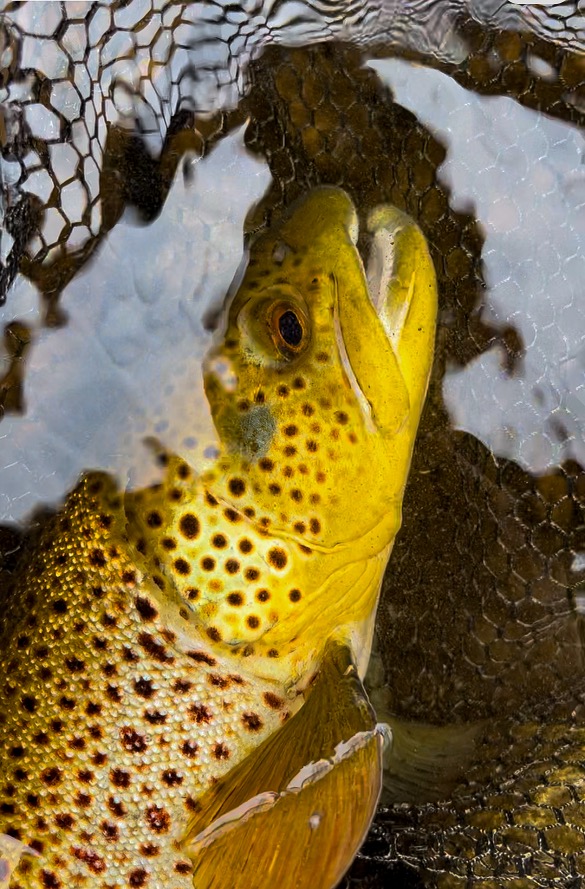
Hare’s Ear/Olive/Orange and PT Soft Hackle 12-16, BWO 16-20, Caddis 12-16, Adams 12-16, GRHE Wet Fly 12-14, Stonefly Nymph Golden/Brown/Black 6-10, Squirrel Nymph 12-16 Pheasant Tail 12-18, Caddis Pupa/Larva in Olive/Natural 12-18, Olive Quill 14-16, Purple Attractor Nymphs 12-18, Woolly Buggers 6-10, Heisenburg Baby Bow 6, Black/Grey Ghost 6-10,Sculpzillas 4-8.
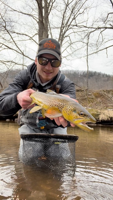
We have openings for guided wade trips, float trips and lessons available. Give us a call if you would like to book a time.(413)397-3665
We have a few sizes and models of Hodgman Waders on clearance. Give us a call or stop in.
The water levels on the Deerfield River are constantly changing due to the many dams throughout. If you are looking to wade waste deep to stalk rising trout then the 130cfs water flows in the catch and release areas is the ideal flow. If you are willing to adapt and throw on a nymph or streamer then you’ll be effective during the water releases of 800-1,000. The lower river (below #2 Buckland Dam) the river widens out a bit and normally does not drop below 300cfs. Good dry fly conditions would be between 300-500cfs. If you are willing to adapt and fish nymphs and streamers then you can be effective at higher water levels. For the catch and release area you can check the water flows here: http://www.h2oline.com/default.aspx?pg=si&op=255123. For below the #2 Buckland Dam check the water flow here: https://waterdata.usgs.gov/ma/nwis/uv/?site_no=01171500&PARAmeter_cd=00065,00060. Always be prepared and paying attention for rising water flow. They are subject to change always. Always check the flows before you go out and while you are out if possible!